AgMission is a web-app software centralizing all data related to aerial application. Data from flight planning to complete mission reporting can be entered and shared by all people who work on the same job.
AG-NAV GIS SOFTWARE
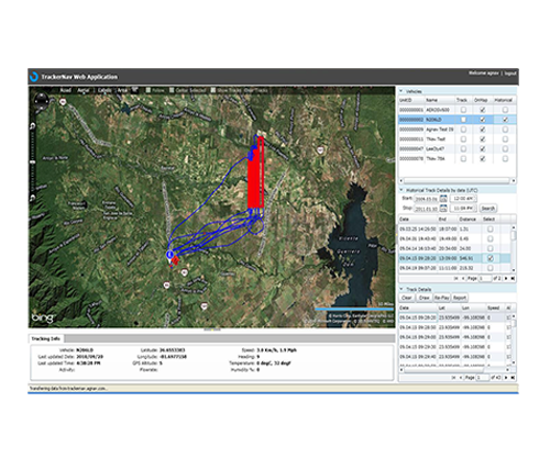
AG-NAV offers fully featured premium GIS software that will take your operation to the next level, from flight planning to post data processing.
Over the years, AG-NAV has tailored its powerful Guia navigation system for companies that do specific applications. With over 25 years of industry experience, AG-NAV is prepared to develop software tailored for your aerial application needs.